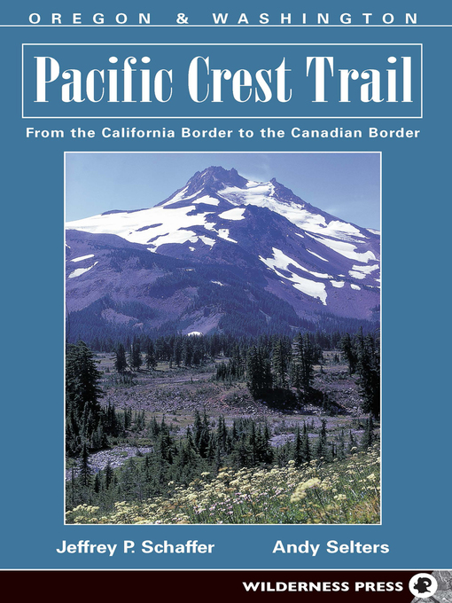
The 2650-mile Pacific Crest Trail, adopted by Congress as a National Scenic Trail, passes through some of the most breathtaking scenery in the United States. Hiking along this ridge-crest route, you'll see Mt. Jacinto, Mt. Whitney, Lassen Peak, Mt. Shasta, Mt. Hood, Mt. Adams, Mt. Rainier and Glacier Peak. You'll traverse 24 national forests, 34 wilderness areas, 7 national parks, plus numerous other parks and recreational areas. Trail elevations range from near sea level at the Columbia River on the Oregon-Washington border, to 13,180 feet at Forester Pass in the High Sierra. Written by accomplished hikers who have each logged over 5,000 trail miles, this book is the only accurate, comprehensive guide to the Pacific Crest Trail in Oregon and Washington. Featuring a complete map of the route, in the form of 149 topographic strip maps, Pacific Crest Trail: Oregon & Washington will give you an extensive description of the trail, tips on planning your hike, history of the trail, and information on the region's natural history, geology and ecology.
- Everyone Reads: Social Emotional Learning
- Lonely Planet Travel Guides
- Spotlight on: Mental Health
- Deaf Culture, Experience, and History
- Autism Awareness
- Employment and Career Resources
- Black Lives Matter - Books for Young People
- Celebrate National Native American Heritage
- Latinx Authors
- Anti-Racist Reading
- Schomburg Center Black Liberation Reading List
- Books to Battle Quarantine Sleep Problems
- Never, Never, Never Give Up
- See all
- Newly added eBooks with no wait lists!
- eBooks: Best 2022 Adult Fiction Titles
- Most popular
- Just Added
- Books in Spanish/Libros en Español
- SciFi Old & New, Contemporary & Classic
- Read-Along Books
- Popular Mysteries
- Try something different
- Why Wait? Always Available Classics
- Comics and Graphic Novels
- Escape into History: Historical fiction
- Manga for Grownups
- See all
- All New Always Available Audio
- It's Your Lucky Day! Audiobooks+
- eAudio: Best 2022 Adult Fiction Titles
- Modern Scholar Audiobooks - NO WAITING!
- Legacy Washington Audio Collection - Listen NOW!
- Most popular
- Just Added
- Spanish/Audiolibros en Español
- Stranger than Fiction
- Try something different
- Family Road Trip Audiobooks
- You can't hit pause on these thrillers
- Best Audiobooks under 3 Hours
- See all
- 2023 Washington State Book Award Finalists (WSBA)
- Best of 2022: Adult Nonfiction
- Now's Your Chance!
- En español - lo nuestro
- Microhistories - Get down in the weeds with these intriguing titles!
- D-Day, June 6, 1944
- Unreliable Narrators
- Bibliotherapy
- Steampunk
- Dealing with Addiction
- Historical Fiction
- Presidents and Politics
- Laughing all the way to the bank
- See all
